Back to explore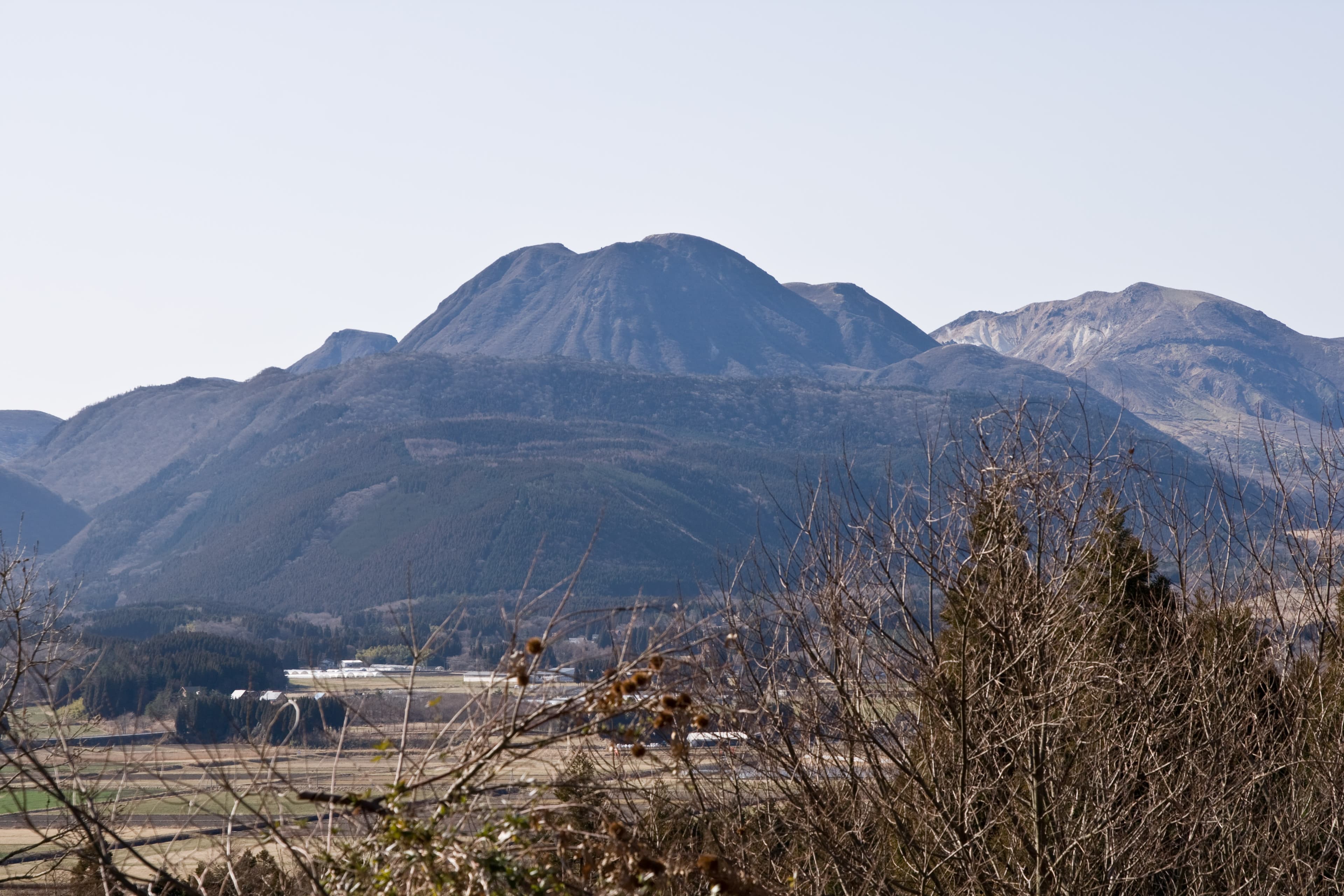
Σ64, CC BY 3.0, via Wikimedia Commons
Mount Mimata
三俣山Oita · Kyushu
三俣山, at 1,744.8 m, is a volcano in the Kuju mountain range straddling Taketa City and Kokonoe Town, built from four summits — the main peak, and south, north and west peaks — that read as three from most angles, which is where the name ('three forks/peaks mountain') comes from. Two crater remnants, Onabe and Konabe ('big pot' and 'small pot'), sit in the northern peak. It is recognised on both the Kyushu Hyakumeizan (Kyushu's 100 Famous Mountains, Yama-to-Keikoku's list) and the Oita Hyakuzan (Oita Alpine Club's 100 Mountains of Oita). Spring brings rhododendron and azalea; the mountain is also a noted vantage point for viewing the rest of the Kuju range, especially from the Iida Highland side to the north.
- Best season
- Year-round
- All year for the climb; spring rhododendron/azalea and autumn foliage are the two named seasonal peaks
- Crowd level
- Hidden gem
- Admission
- Free — an open mountain trail, no gate or ticket.
Today
FreeHow to get there
The standard route climbs from Chojabaru, the main Kuju range trailhead, via the Sugamori Pass course — roughly 2 hours to the summit. A second trailhead is Omagari, a hairpin bend on the Yamanami Highway with parking on the inside of the curve.
Tags
hikingmountain
Location
More in Kyushu
Continue exploring

Your turn
Plan a trip like this — free
Built from 2,650+ verified hidden places — real routes, ferries, and events matched to your dates. Yours takes about a minute.
No credit card, plan your first trip now!